THE DRONE COLLAB JOURNAL

Better drone maps start with better decisions.

Explore practical photogrammetry, GNSS, IMU, GIS and remote sensing methods. Technical explanations, worked examples and field checks for the people turning aerial photographs into usable maps.

1554 articles13 topics
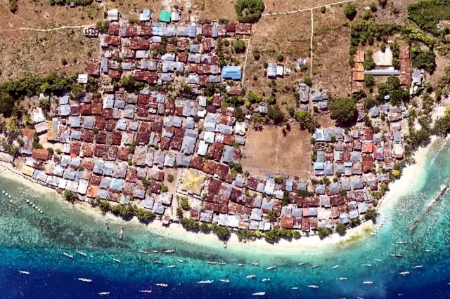
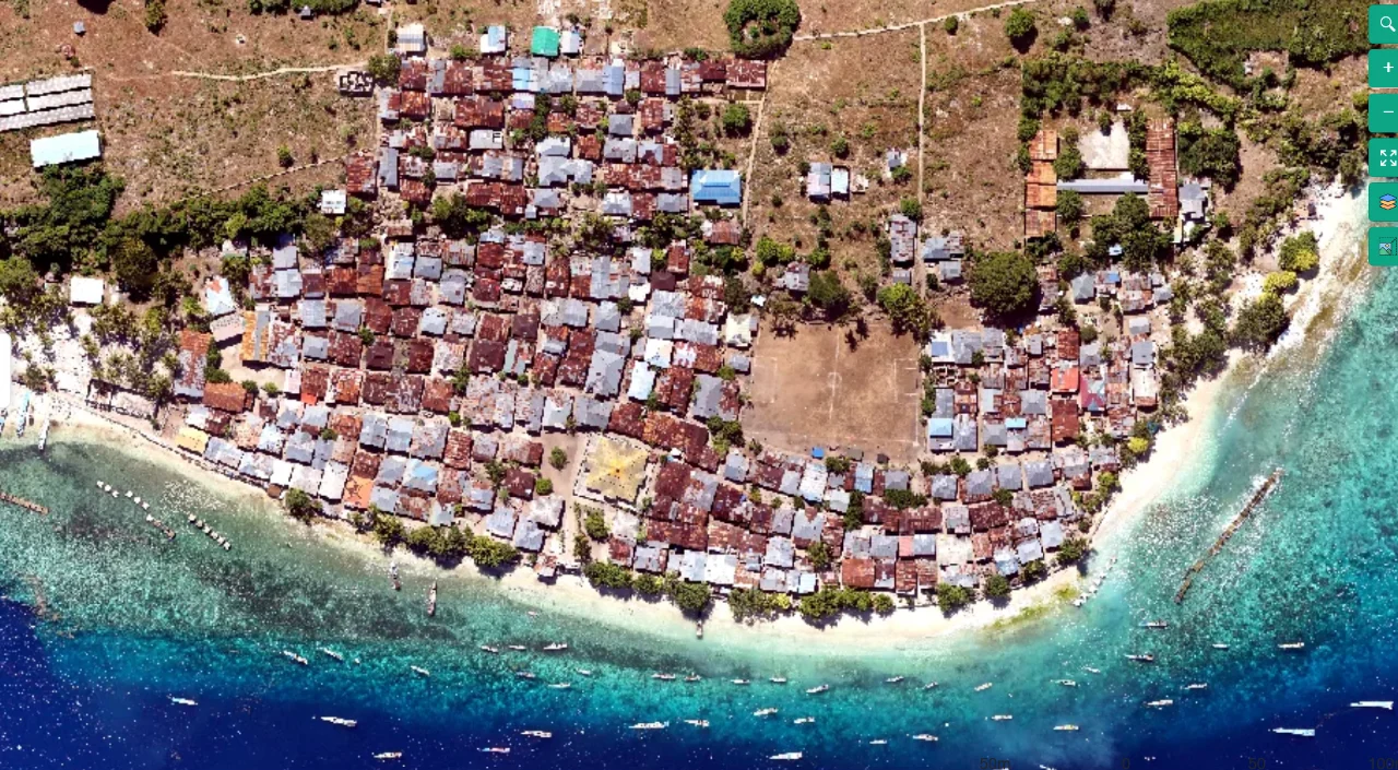
Coastal mapping area viewed from above
Flight planning

Terrain-Following Capture for Coastal Settlement Corridors

Read article ↗

All articles

Orthomosaics

Choosing Seamlines around Difficult Urban Features

Why can a mosaic have accurate nearby control yet display a broken bridge rail or duplicated roof edge at a seam? A practical guide to the acquisition choices, controlled processing test, illustrative calculation, and independent checks needed for a defensible result.

Flight planning

Managing Changing Cloud Shadows during a Mission

How can a single mapping session contain abrupt tonal boundaries that look like real changes in land condition? A practical guide to the acquisition choices, controlled processing test, illustrative calculation, and independent checks needed for a defensible result.

Flight planning

Assessing Haze before a Long Distance Image Block

When does atmospheric haze become a geometric image-quality issue rather than merely a color correction problem? A practical guide to the acquisition choices, controlled processing test, illustrative calculation, and independent checks needed for a defensible result.

Flight planning

Reducing Sun Glint over Reflective Mapping Surfaces

Why do bright roofs, wet pavement, and water sometimes lose matching detail from only certain viewing directions? A practical guide to the acquisition choices, controlled processing test, illustrative calculation, and independent checks needed for a defensible result.

Flight planning

Planning around Long Shadows in Mapping Photography

How do long shadows affect both interpretation and the ability to connect photographs of an urban site? A practical guide to the acquisition choices, controlled processing test, illustrative calculation, and independent checks needed for a defensible result.

Orthomosaics

Mapping beside Water without Treating Reflections as Ground

What can an aerial reconstruction legitimately measure where a shoreline includes reflective or transparent water? A practical guide to the acquisition choices, controlled processing test, illustrative calculation, and independent checks needed for a defensible result.

Photogrammetry

Handling Wind Driven Vegetation during Reconstruction

Why does additional overlap fail to produce a crisp stable canopy when leaves and branches move between exposures? A practical guide to the acquisition choices, controlled processing test, illustrative calculation, and independent checks needed for a defensible result.

Photogrammetry

Reconstructing Low Texture Surfaces without Inventing Detail

Why do smooth concrete pads and uniform soil patches produce holes even when their photographs overlap generously? A practical guide to the acquisition choices, controlled processing test, illustrative calculation, and independent checks needed for a defensible result.

Photogrammetry

Diagnosing Doming over Flat Mapping Sites

How can an apparently uniform flat field acquire a broad artificial rise or depression after reconstruction? A practical guide to the acquisition choices, controlled processing test, illustrative calculation, and independent checks needed for a defensible result.

Orthomosaics

Managing Tall Building Displacement in Orthomosaics

Why do high buildings lean or appear cut apart in a map even when nearby roads align convincingly? A practical guide to the acquisition choices, controlled processing test, illustrative calculation, and independent checks needed for a defensible result.

Flight planning

Planning Building Orbits with Adequate Image Connections

How can a building orbit avoid creating an isolated attractive model that does not connect to the surrounding survey? A practical guide to the acquisition choices, controlled processing test, illustrative calculation, and independent checks needed for a defensible result.