THE DRONE COLLAB JOURNAL

Better drone maps start with better decisions.

Explore practical photogrammetry, GNSS, IMU, GIS and remote sensing methods. Technical explanations, worked examples and field checks for the people turning aerial photographs into usable maps.

1554 articles13 topics
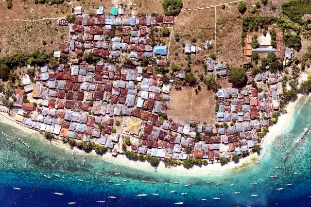
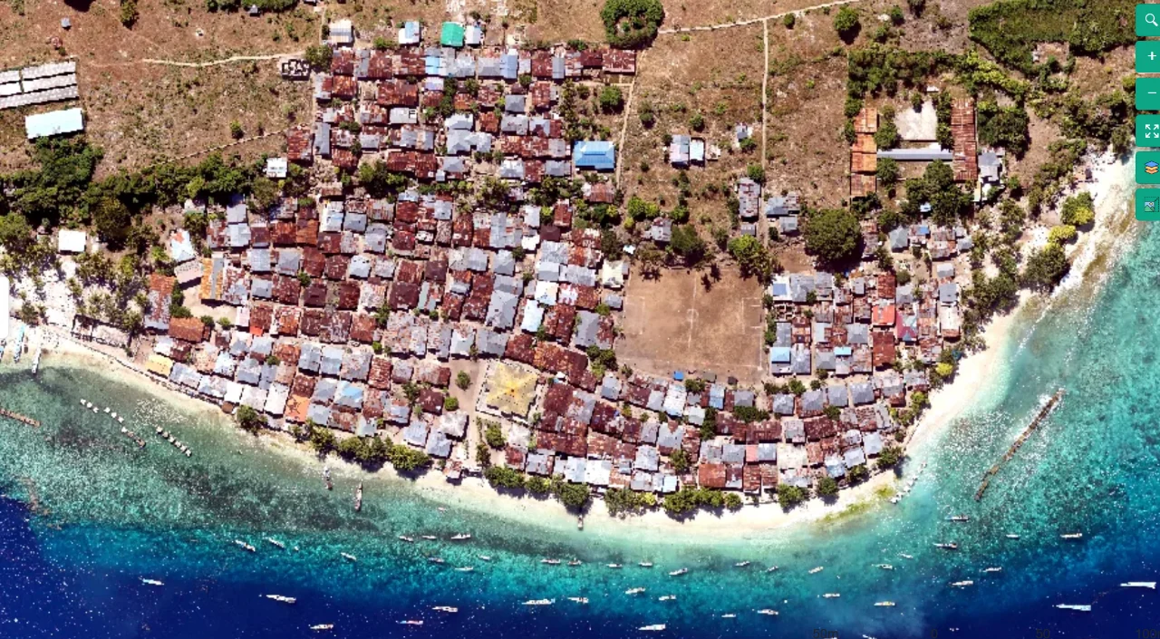
Coastal mapping area viewed from above
Flight planning

Terrain-Following Capture for Coastal Settlement Corridors

Read article ↗

All articles

Cloud processing

Building Raster Overviews without Altering the Master Map

How can a very detailed orthomosaic become responsive at regional scale without replacing its full-resolution pixels? A practical guide to the acquisition choices, controlled processing test, illustrative calculation, and independent checks needed for a defensible result.

Cloud processing

Preparing Tiled GeoTIFFs for Practical Orthomosaic Use

Why can a technically valid large raster be slow to browse even on a computer that can open the file? A practical guide to the acquisition choices, controlled processing test, illustrative calculation, and independent checks needed for a defensible result.

Orthomosaics

Removing Moving Vehicles without Misrepresenting the Site

How should temporary traffic be handled when cars and machinery create duplicated shapes or obstruct important ground features? A practical guide to the acquisition choices, controlled processing test, illustrative calculation, and independent checks needed for a defensible result.

Flight planning

Diagnosing Weak Coverage near a Flight Boundary

Why does a mission covering the intended polygon still yield weak geometry along one side of the map? A practical guide to the acquisition choices, controlled processing test, illustrative calculation, and independent checks needed for a defensible result.

Orthomosaics

Cropping a Map to a Defensible Survey Boundary

Why should the final delivery boundary often lie inside the outermost extent of the reconstructed imagery? A practical guide to the acquisition choices, controlled processing test, illustrative calculation, and independent checks needed for a defensible result.

Orthomosaics

Explaining NoData Areas in an Orthomosaic

How should a mapping team distinguish a genuine unobserved region from a display problem that looks like an empty map patch? A practical guide to the acquisition choices, controlled processing test, illustrative calculation, and independent checks needed for a defensible result.

Orthomosaics

Balancing Orthomosaic Colors without Hiding Evidence

When is color balancing useful, and when can it obscure real differences that an analyst needs to examine? A practical guide to the acquisition choices, controlled processing test, illustrative calculation, and independent checks needed for a defensible result.

Orthomosaics

Setting Output Pixel Size without Claiming Extra Accuracy

Why does requesting a smaller output pixel not automatically improve the measurements supported by aerial imagery? A practical guide to the acquisition choices, controlled processing test, illustrative calculation, and independent checks needed for a defensible result.

Orthomosaics

Choosing Resampling Methods for Orthomosaic Delivery

How can a map become smoother after export while losing the small features that justified the original survey? A practical guide to the acquisition choices, controlled processing test, illustrative calculation, and independent checks needed for a defensible result.

Orthomosaics

Selecting the Surface Used to Orthorectify Images

Why does the surface chosen during orthorectification change where cliffs, machinery, and rooftops appear in the final map? A practical guide to the acquisition choices, controlled processing test, illustrative calculation, and independent checks needed for a defensible result.