THE DRONE COLLAB JOURNAL

Better drone maps start with better decisions.

Explore practical photogrammetry, GNSS, IMU, GIS and remote sensing methods. Technical explanations, worked examples and field checks for the people turning aerial photographs into usable maps.

1554 articles13 topics
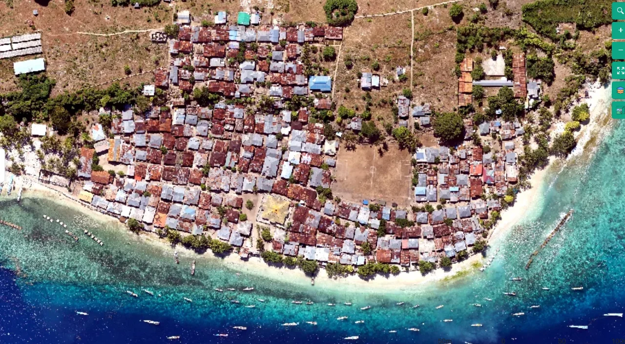
Coastal mapping area viewed from above
Flight planning

Terrain-Following Capture for Coastal Settlement Corridors

Read article ↗

All articles

Cloud processing

Splitting Large Projects without Losing Block Geometry

When can dividing a large survey make processing manageable without creating inconsistent neighboring products? A practical guide to the acquisition choices, controlled processing test, illustrative calculation, and independent checks needed for a defensible result.

Cloud processing

Managing Memory Pressure in Dense Reconstruction

What should be investigated when a job approaches its memory limit before producing a dense surface? A practical guide to the acquisition choices, controlled processing test, illustrative calculation, and independent checks needed for a defensible result.

Cloud processing

Verifying Upload Integrity for Large Image Collections

How can a cloud-processing job fail because of transfer problems even though the upload page appears complete? A practical guide to the acquisition choices, controlled processing test, illustrative calculation, and independent checks needed for a defensible result.

Cloud processing

Creating a Reproducible Image Manifest for a Survey

What information allows a later reviewer to reconstruct exactly which photographs produced a delivered map? A practical guide to the acquisition choices, controlled processing test, illustrative calculation, and independent checks needed for a defensible result.

Photogrammetry

Preserving Image Orientation and Pixel Geometry

How can rotation or automatic orientation handling produce inconsistent camera assumptions in a collection? A practical guide to the acquisition choices, controlled processing test, illustrative calculation, and independent checks needed for a defensible result.

Cloud processing

Ranking Image Sharpness without Rejecting Critical Coverage

Why can automatic blur filtering improve average image quality while making the final reconstruction less complete? A practical guide to the acquisition choices, controlled processing test, illustrative calculation, and independent checks needed for a defensible result.

Cloud processing

Finding Duplicate Images before Building a Mapping Block

How can repeated files increase processing cost without adding a single independent view of the ground? A practical guide to the acquisition choices, controlled processing test, illustrative calculation, and independent checks needed for a defensible result.

Cloud processing

Auditing EXIF Metadata before a Cloud Upload

Which metadata inconsistencies can explain a failed alignment before additional computing resources are committed? A practical guide to the acquisition choices, controlled processing test, illustrative calculation, and independent checks needed for a defensible result.

Photogrammetry

Evaluating Input JPEG Compression before Processing

When can image compression become a reconstruction concern rather than only a storage preference? A practical guide to the acquisition choices, controlled processing test, illustrative calculation, and independent checks needed for a defensible result.