THE DRONE COLLAB JOURNAL

Better drone maps start with better decisions.

Explore practical photogrammetry, GNSS, IMU, GIS and remote sensing methods. Technical explanations, worked examples and field checks for the people turning aerial photographs into usable maps.

1554 articles13 topics
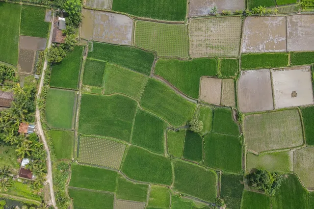
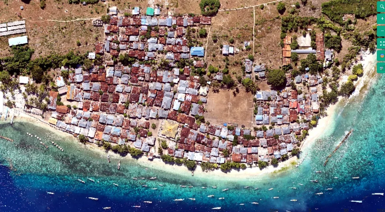
Coastal mapping area viewed from above
Flight planning

Terrain-Following Capture for Coastal Settlement Corridors

Read article ↗

All articles

Photogrammetry

Filtering Point Clouds without Erasing Real Structures

How can an outlier filter remove noise while accidentally deleting useful embankment edges or narrow objects? A practical guide to the acquisition choices, controlled processing test, illustrative calculation, and independent checks needed for a defensible result.

Cloud processing

Downscaling Images while Preserving Required Map Detail

When is reduced image resolution a justified processing choice rather than an unexamined shortcut? A practical guide to the acquisition choices, controlled processing test, illustrative calculation, and independent checks needed for a defensible result.

Photogrammetry

Understanding Depth Map Quality and View Selection

What tradeoff is made when dense reconstruction uses fewer neighboring views or a reduced image scale? A practical guide to the acquisition choices, controlled processing test, illustrative calculation, and independent checks needed for a defensible result.

Photogrammetry

Separating Sparse Alignment from Dense Surface Quality

Why can a well-aligned camera network still produce holes or noise in the dense reconstruction? A practical guide to the acquisition choices, controlled processing test, illustrative calculation, and independent checks needed for a defensible result.

Photogrammetry

Using the Camera Connection Graph to Find Weak Links

How can an image network reveal that a single small group of photographs holds two large regions together? A practical guide to the acquisition choices, controlled processing test, illustrative calculation, and independent checks needed for a defensible result.

Cloud processing

Reading a Processing Report as a Diagnostic Record

How should an operator interpret a successful job report before releasing the map for measurement? A practical guide to the acquisition choices, controlled processing test, illustrative calculation, and independent checks needed for a defensible result.

Cloud processing

Planning Storage Retention for Reproducible Mapping

Which files must be retained so a delivered orthomosaic can be investigated or reprocessed months later? A practical guide to the acquisition choices, controlled processing test, illustrative calculation, and independent checks needed for a defensible result.

Cloud processing

Resuming Failed Processing with an Auditable Run Record

When is it appropriate to resume a failed stage instead of discarding the entire project and starting again? A practical guide to the acquisition choices, controlled processing test, illustrative calculation, and independent checks needed for a defensible result.

Cloud processing

Scheduling Concurrent Jobs without Resource Contention

Why can submitting several reconstructions at once make all of them finish later on a shared processing system? A practical guide to the acquisition choices, controlled processing test, illustrative calculation, and independent checks needed for a defensible result.

Cloud processing

Choosing Chunk Overlap from Scene Geometry

How much shared coverage is needed between processing chunks when the boundary crosses tall vegetation or structures? A practical guide to the acquisition choices, controlled processing test, illustrative calculation, and independent checks needed for a defensible result.