THE DRONE COLLAB JOURNAL

Better drone maps start with better decisions.

Explore practical photogrammetry, GNSS, IMU, GIS and remote sensing methods. Technical explanations, worked examples and field checks for the people turning aerial photographs into usable maps.

1554 articles13 topics
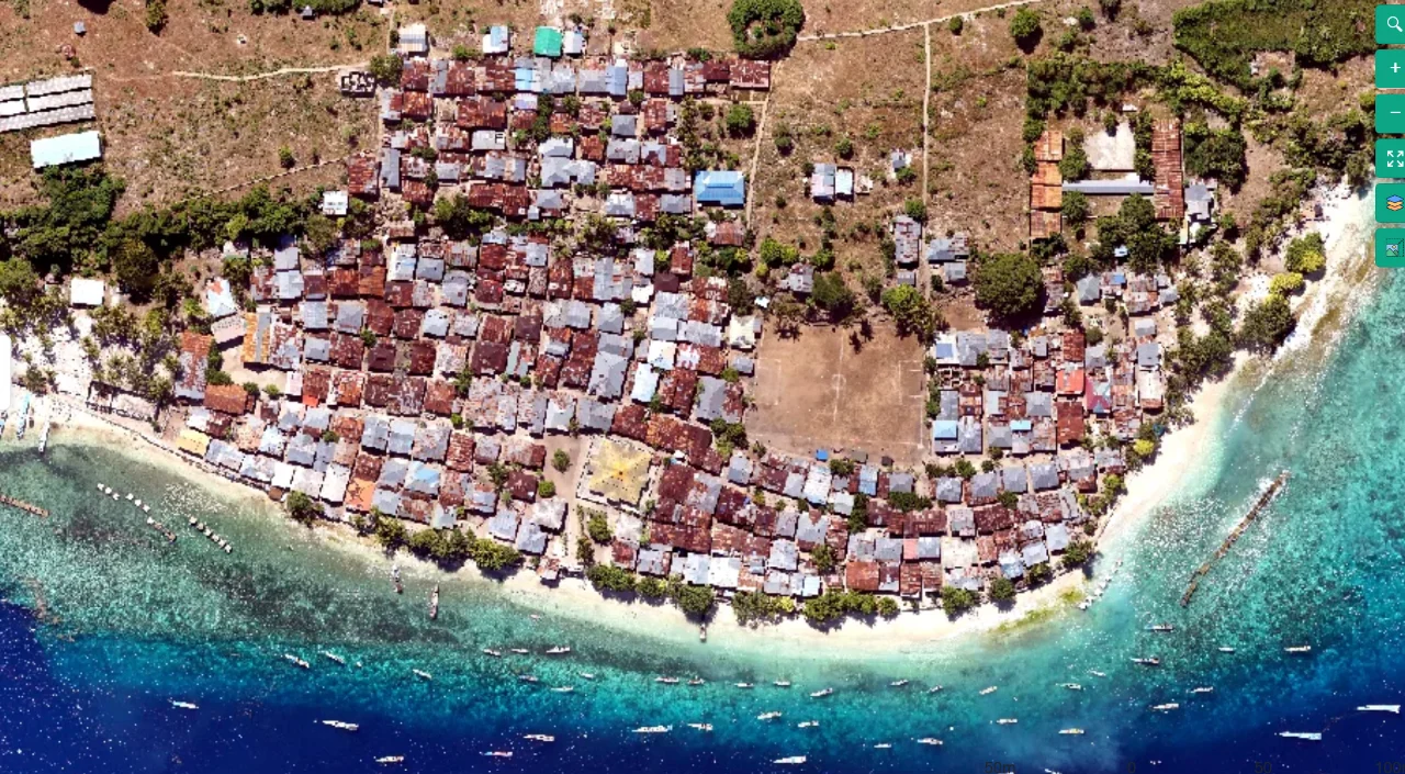
Coastal mapping area viewed from above
Flight planning

Terrain-Following Capture for Coastal Settlement Corridors

Read article ↗

All articles

Flight planning

Mapping a Small Parcel without Weak Edge Geometry

Why can a tiny site be harder to map reliably than an open field many times its size? A practical guide to the acquisition choices, controlled processing test, illustrative calculation, and independent checks needed for a defensible result.

Flight planning

Scaling a Large Field Survey without Losing Useful Detail

How can a large agricultural block be covered efficiently while maintaining the detail actually needed for management decisions? A practical guide to the acquisition choices, controlled processing test, illustrative calculation, and independent checks needed for a defensible result.

Flight planning

Connecting Flight Segments across Battery Changes

Why do separately successful battery flights sometimes fail to form one consistent reconstruction? A practical guide to the acquisition choices, controlled processing test, illustrative calculation, and independent checks needed for a defensible result.

Flight planning

Using a Pilot Strip before Committing to a Full Mission

What should a short test flight demonstrate before hundreds of similar photographs are collected across a plantation? A practical guide to the acquisition choices, controlled processing test, illustrative calculation, and independent checks needed for a defensible result.

Photogrammetry

Designing Dense Cloud Quality Checks by Surface Class

Why should bare ground, canopy, roofs, and reflective equipment be evaluated separately in a dense cloud? A practical guide to the acquisition choices, controlled processing test, illustrative calculation, and independent checks needed for a defensible result.

Photogrammetry

Checking Surface Normals and Mesh Orientation

Why do parts of a model disappear or look strangely shaded even when points appear to occupy the correct positions? A practical guide to the acquisition choices, controlled processing test, illustrative calculation, and independent checks needed for a defensible result.