THE DRONE COLLAB JOURNAL

Better drone maps start with better decisions.

Explore practical photogrammetry, GNSS, IMU, GIS and remote sensing methods. Technical explanations, worked examples and field checks for the people turning aerial photographs into usable maps.

1554 articles13 topics
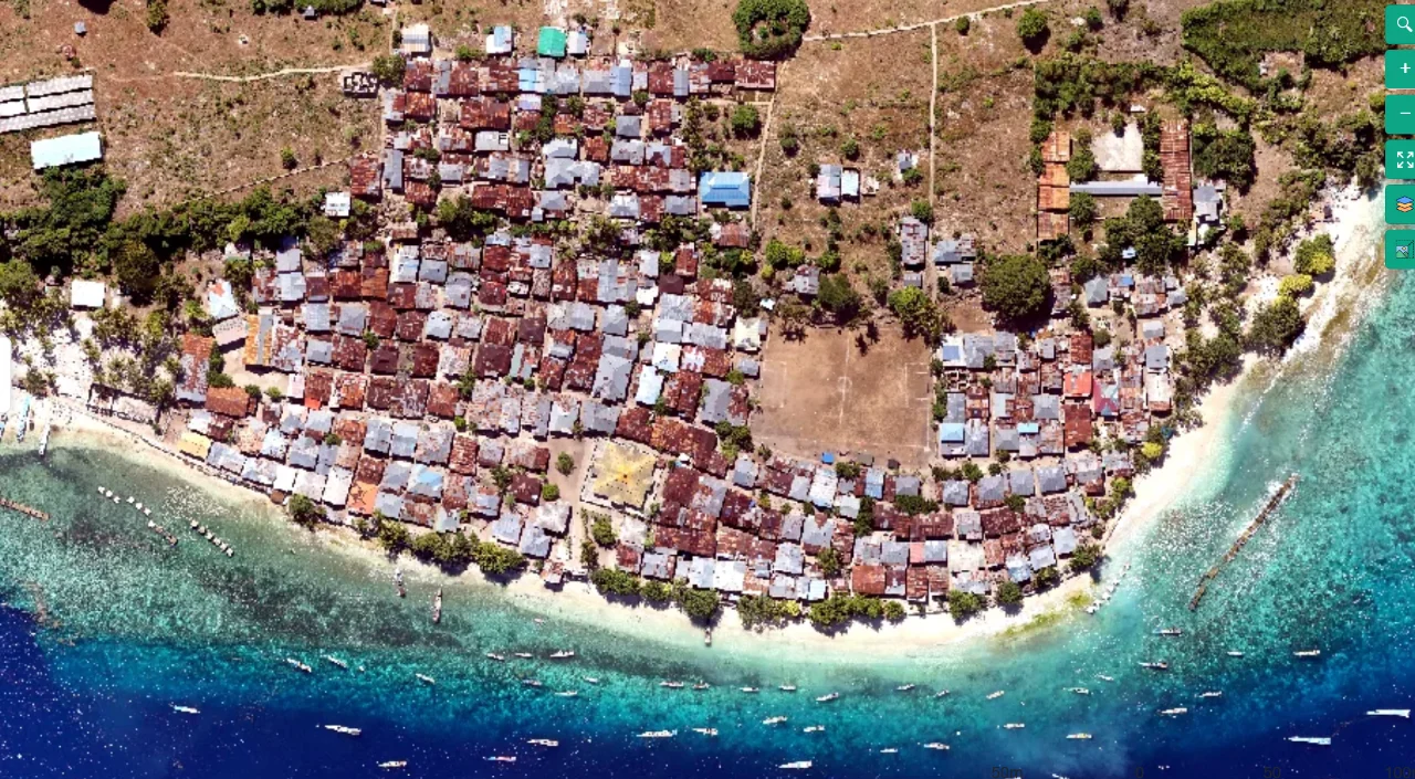
Coastal mapping area viewed from above
Flight planning

Terrain-Following Capture for Coastal Settlement Corridors

Read article ↗

All articles

Flight planning

Using Cross Grids to Strengthen a Photogrammetric Block

What does a perpendicular flight grid contribute beyond simply doubling the number of photographs? A practical guide to the acquisition choices, controlled processing test, illustrative calculation, and independent checks needed for a defensible result.

Photogrammetry

Auditing Image Corners before Trusting a Full Frame

Why should sharpness and matching quality be inspected by image region instead of summarized with one score per photograph? A practical guide to the acquisition choices, controlled processing test, illustrative calculation, and independent checks needed for a defensible result.

Photogrammetry

Understanding Principal Point Parameters without Overfitting

Why can freeing additional camera parameters reduce residuals while making a flat site less reliable for measurement? A practical guide to the acquisition choices, controlled processing test, illustrative calculation, and independent checks needed for a defensible result.

Photogrammetry

Detecting Focal Length Drift across a Long Mission

How can an otherwise stable camera block develop gradual scale changes during a long acquisition? A practical guide to the acquisition choices, controlled processing test, illustrative calculation, and independent checks needed for a defensible result.

Photogrammetry

Calibrating Camera Distortion for Measurement Work

What evidence is needed before a lens-distortion model should be trusted outside the central part of a photograph? A practical guide to the acquisition choices, controlled processing test, illustrative calculation, and independent checks needed for a defensible result.

Photogrammetry

Recognizing Rolling Shutter Distortion in Aerial Blocks

Why might straight ground features bend or shift even when individual photographs appear acceptably sharp? A practical guide to the acquisition choices, controlled processing test, illustrative calculation, and independent checks needed for a defensible result.

Photogrammetry

Choosing Aperture through a Mapping Test Strip

How can a mapping team choose an aperture without assuming that the smallest opening always gives the sharpest photograph? A practical guide to the acquisition choices, controlled processing test, illustrative calculation, and independent checks needed for a defensible result.

Photogrammetry

Locking Focus for Consistent Photogrammetric Geometry

Why does a collection with apparently identical image dimensions sometimes contain several different sharpness and geometry regimes? A practical guide to the acquisition choices, controlled processing test, illustrative calculation, and independent checks needed for a defensible result.

Flight planning

Balancing ISO and Exposure for Mapping Images

How should an operator respond when cloudy conditions force a choice between a slow exposure and increased image noise? A practical guide to the acquisition choices, controlled processing test, illustrative calculation, and independent checks needed for a defensible result.

Flight planning

Controlling Motion Blur with Shutter Time and Ground Speed

Which combination of shutter time and flight speed preserves small road markings as sharp measurement features? A practical guide to the acquisition choices, controlled processing test, illustrative calculation, and independent checks needed for a defensible result.