THE DRONE COLLAB JOURNAL

Better drone maps start with better decisions.

Explore practical photogrammetry, GNSS, IMU, GIS and remote sensing methods. Technical explanations, worked examples and field checks for the people turning aerial photographs into usable maps.

1554 articles13 topics
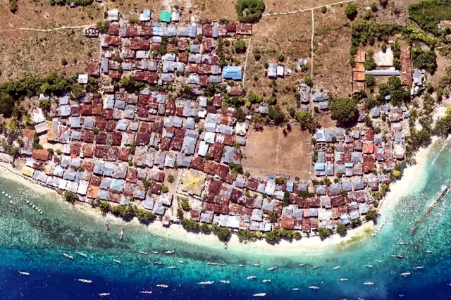
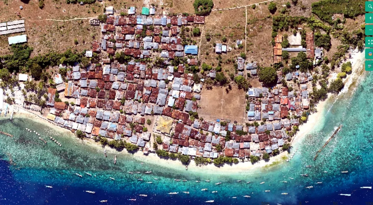
Coastal mapping area viewed from above
Flight planning

Terrain-Following Capture for Coastal Settlement Corridors

Read article ↗

All articles

Flight planning

Terrain Following without Confusing Height References

Can one constant height above the launch point maintain image scale across a hillside with substantial relief? A practical guide to the acquisition choices, controlled processing test, illustrative calculation, and independent checks needed for a defensible result.

Flight planning

Designing Side Overlap for Reliable Strip Connections

Why can a block contain strong connections along each flight line yet separate into disconnected parallel strips? A practical guide to the acquisition choices, controlled processing test, illustrative calculation, and independent checks needed for a defensible result.

Flight planning

Calculating Image Trigger Intervals from Forward Overlap

How quickly must the camera record images while the aircraft follows a straight survey line at a changing ground speed? A practical guide to the acquisition choices, controlled processing test, illustrative calculation, and independent checks needed for a defensible result.

Flight planning

Choosing Flight Height from Ground Sampling Distance

Can the proposed flight height resolve a narrow irrigation feature without producing an unnecessarily large image collection? A practical guide to the acquisition choices, controlled processing test, illustrative calculation, and independent checks needed for a defensible result.