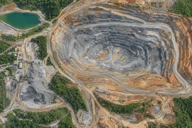
Volume calculations and the uncertainty of the reference surface
A volume estimate integrates height differences over an area, so it depends on both the measured surface and the reference surface or base definition.
THE DRONE COLLAB JOURNAL
Explore practical photogrammetry, GNSS, IMU, GIS and remote sensing methods. Technical explanations, worked examples and field checks for the people turning aerial photographs into usable maps.

A volume estimate integrates height differences over an area, so it depends on both the measured surface and the reference surface or base definition.
Subtracting two elevation models can reveal change only after their spatial and vertical relationships are established.
Elevation uncertainty is rarely uniform across a project.
Robust statistics reduce sensitivity to extreme values and can help describe the typical behavior of a residual population.
Root mean square error summarizes squared residuals, while signed mean residual describes directional bias.
A seam in an elevation product can arise from coordinate mismatch, vertical offsets, interpolation, filtering, different observation support, or a display artifact.
Hillshade simulates illumination of an elevation surface to reveal shape.
Slope and aspect are derivatives of an elevation model.
Contours connect locations of equal modeled elevation.
Breaklines describe meaningful changes in surface geometry, such as a ridge, channel edge, or embankment crest.
Elevation interpolation estimates values between observations according to a mathematical model.
Rasterization converts irregular point observations into a regular grid using a selection or aggregation rule.
No matching articles. Try a broader technical term.