DSM and DTM: defining which surface the elevation represents
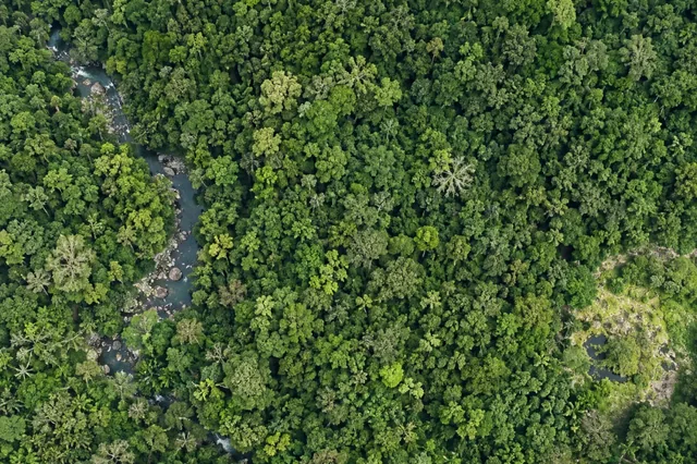
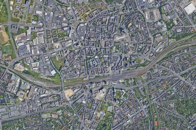
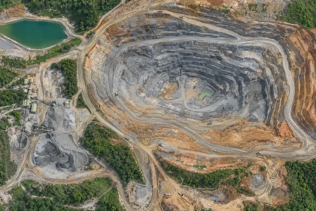
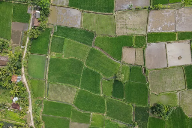
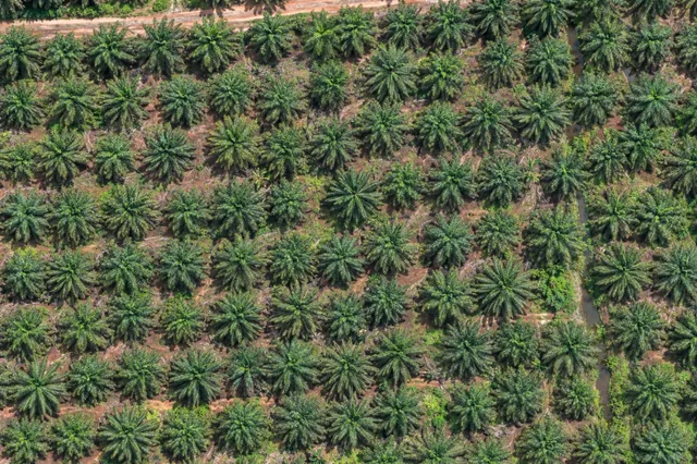
A digital surface model generally represents visible upper surfaces such as roofs and vegetation, while a digital terrain model aims to describe ground.
THE DRONE COLLAB JOURNAL
Explore practical photogrammetry, GNSS, IMU, GIS and remote sensing methods. Technical explanations, worked examples and field checks for the people turning aerial photographs into usable maps.

A digital surface model generally represents visible upper surfaces such as roofs and vegetation, while a digital terrain model aims to describe ground.
Ground classification assigns observations to a terrain interpretation using geometric rules or a model.
An outlier filter identifies points that appear inconsistent with a chosen neighborhood model.
Point density describes how observations are distributed over an area or volume, but its definition must be stated.
A point cloud stores more than a list of visible dots.
A shapefile dataset consists of several related files and carries practical schema limitations.
A GeoPackage can organize spatial layers and attribute tables in a portable database container.
GeoJSON represents features using explicit geometry types and properties.
Resampling estimates output cell values from input samples during reprojection, resizing, or grid alignment.
Two rasters can share a CRS and pixel size while having different grid origins or rotations.
NoData marks an undefined or unavailable sample, while zero can be a legitimate measured value.
Compression changes storage representation, and some methods also change reconstructed values.
No matching articles. Try a broader technical term.