Agriculture
Orchard Crown Mapping for Tree-Level Inspection Registers
An orchard crown layer helps attach pruning, condition and maintenance observations to repeatable tree identifiers.
5 min readRead article
THE DRONE COLLAB JOURNAL
Explore practical photogrammetry, GNSS, IMU, GIS and remote sensing methods. Technical explanations, worked examples and field checks for the people turning aerial photographs into usable maps.
An orchard crown layer helps attach pruning, condition and maintenance observations to repeatable tree identifiers.
Sugarcane gap mapping should follow the planted row rather than classify arbitrary bare pixels.
Early maize emergence can be assessed by locating plants or empty lengths along known rows.
A drone map can document the continuity of visible vegetation beside waterways and locate gaps, access crossings or recent disturbance.
Replanting planning begins with the actual available footprint: existing roads, drains, slope breaks, retained vegetation and excluded areas.
Drainage maps for oil palm should connect field drains, collectors, crossings and outfalls into a network.
Oil palm logistics depend on connected collection paths, road crossings and loading locations.
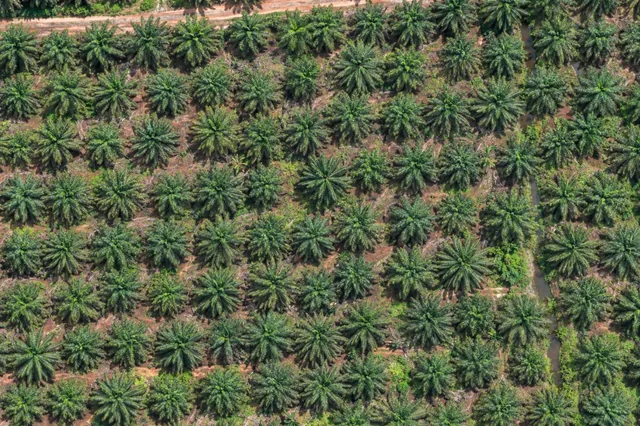
Crown size, visible leaf arrangement and spectral appearance can describe variability within an oil palm block.
A missing crown is an exception to a planting pattern, not immediate proof that a station is available for replanting.
An oil palm census requires a clear counting object.
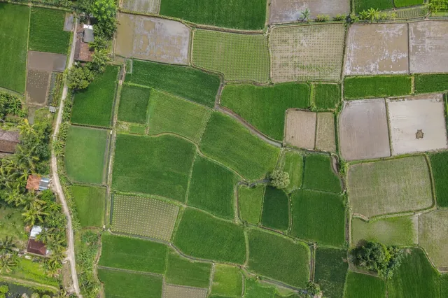
Weeds may form distinctive clumps, textures or growth patterns in rice paddies, but the similarity between crop and non-crop plants changes with growth stage.
Flood recovery is a sequence rather than a single image interpretation.
No matching articles. Try a broader technical term.