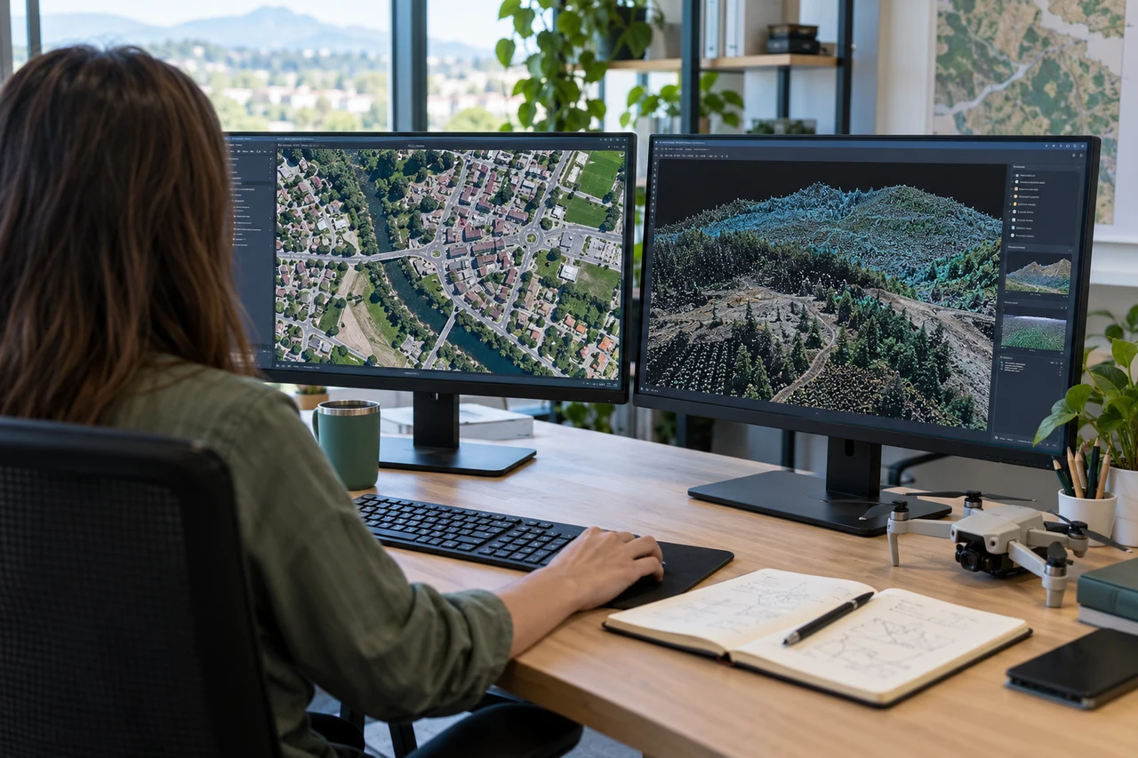
The site decision and observation unit
This guide examines memory-aware processing trials when a mapping team needs to track visible ground cover while preserving seasonal interpretation. The goal is to connect a specific technical choice to observable site evidence, an independently checkable comparison and a clear delivery decision.
Define restoration units, bare-ground patches and access disturbances before analysis. Grass cover changes with season, grazing and recent management. A meaningful comparison uses compatible observation windows and an explicit cover definition. Keep total management area separate from the smaller area for which imagery provides an interpretable observation.
Define the decision before choosing a processing configuration. State the target object, the observable surface, the required geographic reference and the evidence needed by the receiving user. Separate direct observations from inferred values. This prevents an attractive image from becoming an unsupported claim about conditions that the sensor did not observe. Preserve the project question in the run record so later quality review evaluates the intended use rather than a convenient software statistic.
The technical mechanism
Photogrammetric resource use depends on image dimensions, scene content, reconstruction settings and implementation. Final output size is not a reliable estimate of peak memory or temporary storage. A controlled subset can reveal practical limits, but its scaling behavior must be interpreted cautiously. Resource planning should preserve the measurement objective rather than simply maximize every setting.
Site conditions that can mislead interpretation
Dry vegetation, exposed soil and shadow can have overlapping visible colors. Recent mowing or grazing can change texture without indicating restoration failure. Wind affects image sharpness and canopy geometry. A classifier evaluated only on conspicuous bare patches may overlook sparse or mixed cover elsewhere.
A successful small test does not guarantee the same peak behavior on a much larger block. Resource success and measurement validity require separate evidence.
Prepare the inputs and the controlled test
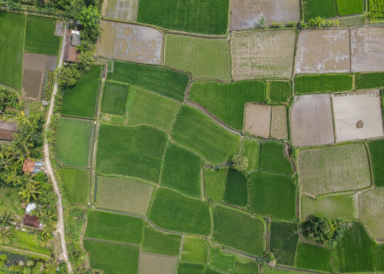
Define a representative subset containing difficult texture and relief. Record image dimensions, configuration, elapsed time and observed resource use. Change one justified factor at a time. Preserve the baseline and compare output support as well as processing success. Keep estimates distinct from measured behavior and from any product-specific capacity promise.
Build the comparison around a preserved baseline. Use the same input inventory, geographic extent and independent reference observations whenever the experiment permits. Change one justified factor at a time and record any unavoidable difference. Select both a difficult inspection region and a stable control region before examining the candidate output. Compare on their common valid support, then report any gain or loss of total coverage separately. This distinguishes a local improvement from a result that merely excludes the hardest observations.
Independent verification in this setting
Use ground observations across dense cover, sparse cover and exposed soil. Record season, recent grazing and management history. Define whether reference observations represent projected cover or another field quantity. Include uncertain mixed patches so accuracy review covers the actual boundary between classes rather than only obvious examples.
Inspect whether a resource-saving change removes relevant detail, coverage or geometric stability. Compare independent observations on common support. Record failures and temporary-storage needs. Evaluate the accepted configuration against the intended delivery rather than choosing only the fastest run or largest output.
A linked check: Independent Checkpoint Design
Independent checkpoints evaluate geometry without participating in the adjustment being tested. Their reference quality, distribution and feature identification affect the result. Points used as control cannot simultaneously provide an independent accuracy assessment of that same adjustment. A useful design covers the conditions relevant to the delivered product rather than clustering checks on the easiest accessible surface.
Define the intended horizontal and vertical checks before processing. Separate control and checkpoint identifiers and preserve their observation methods. Choose visible stable targets distributed across meaningful terrain and acquisition conditions. Document reference uncertainty and any target-identification limitations. Keep withheld points withheld during the comparison.
Inspect signed residuals, spatial patterns and outliers with their evidence. Investigate mistaken identification or changed targets rather than removing inconvenient points automatically. Compare candidates on the same independent set and report exclusions with reasons. Present the reference method so the residuals are not interpreted more precisely than the check observations allow.
An illustrative decision example
Consider an illustrative processing handover containing two files with similar names. One was validated against independent observations, while the other was regenerated after a configuration change. Their appearance may be nearly identical, but the earlier validation does not automatically apply to the new bytes. A manifest linking the accepted output checksum, input inventory, configuration and evidence resolves the identity problem. Reopen the delivered files from a clean copy and confirm that the receiving workflow reads the intended coordinates, values and masks. If a cloud job finishes successfully but receives a different input subset, record that difference before comparing quality or resource use. This hypothetical example concerns reproducibility rather than a platform benchmark. A completed job, fast preview or successful download is useful operational evidence, but it does not independently certify the measurement assumptions or the scientific interpretation of the resulting map.
Interpret uncertainty before accepting the result
Write the acceptance rule before selecting the most attractive output. The actual threshold must follow the project purpose and the quality of the independent evidence. Inspect signed differences and spatial patterns as well as summaries. Investigate consequential outliers using their source observations instead of deleting them to improve a score. A result can be suitable for inspection planning while remaining unsuitable for a more demanding engineering or quantitative claim. State that intended-use boundary explicitly.
Deliver evidence that the next team can use
Deliver cover observations, valid-area denominators and a change interpretation note. Avoid equating a single greenness measurement with ecological recovery. The map should support repeatable site inspection and monitoring of explicitly defined visible conditions.
Keep the accepted source dates, processing version, coordinate conventions, masks and reference evidence beside the delivered data. Reopen a representative output from a clean copy and confirm that the intended receiving application interprets it consistently. Identify any remaining unsupported areas and the additional observation that would resolve them. The next analyst should be able to reconstruct the decision without depending on a temporary browser session, an operator recollection or a file whose name merely says final.
Where a cloud workflow can help
Cloud Photogrammetry Software can simplify the transfer from an organized image collection to a shared review workflow, but it does not remove acquisition or validation responsibilities. Drone Collab can be considered as part of that workflow after the team checks the current published capabilities and the outputs required by the project. Start with a representative collection and evaluate the evidence, usability and handover together. Choose the workflow because it supports a defensible decision rather than because one preview looks particularly polished.