Start with the operational question
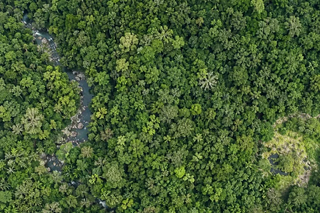
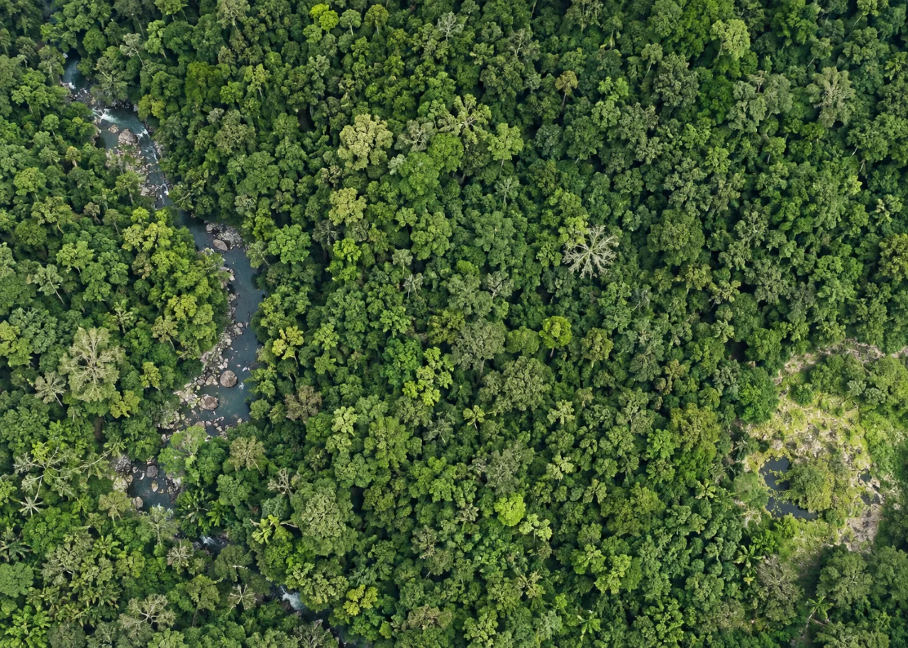
Canopy gaps describe openings in the upper forest surface and their spatial pattern. They can help organize regeneration studies, disturbance checks and access planning. A gap map should define whether small openings, internal shadows and low vegetation count as gaps, since those choices influence both patch area and interpretation.
The working question is: Which visible canopy openings merit ecological or management inspection? Define visible canopy gap polygons before the survey begins and identify who will review them. Agree what evidence would change an inspection, sampling or management decision. This keeps the map tied to a testable task and makes it possible to distinguish a useful observation from an attractive output that cannot resolve the question.
Understand what the image actually observes
Dark canopy is not necessarily open ground. Overhanging branches can conceal an opening, and upper-canopy imagery misses stems below the visible surface. A gap inventory therefore cannot be presented as a full census of trees or understory regeneration.
For visible canopy gap polygons, the measurement definition is part of the result. Define canopy, gap, individual tree and ground observations separately. The same overhead polygon can contain several ecological layers, and a crown boundary may not coincide with a stem-based field plot boundary. State the forest area included, the valid observation area and any excluded shadow or occlusion. Avoid translating visible structure directly into biomass, species condition or ecological function without a suitable relationship and field evidence. A neutral map of observed forest features can be valuable even when the biological interpretation remains unresolved or requires a different survey method.
Design capture around the target and its confounders
Capture planning for visible canopy gap polygons should begin with the intended comparison. Plan coverage around the visible canopy and the forest question, accounting for wind, shadows, terrain and access. Record season, known disturbance and management events. Include enough surrounding stable reference to evaluate geometry where comparisons are needed. Test whether the proposed target is visible through or above the canopy before assuming the survey can inventory it. Above-canopy photographs primarily describe surfaces seen by the camera; they do not guarantee observations of understory, stems or bare ground. Additional field or ground-capable data may be essential, particularly when the interpretation depends on vertical forest structure.
Build a traceable processing and analysis workflow
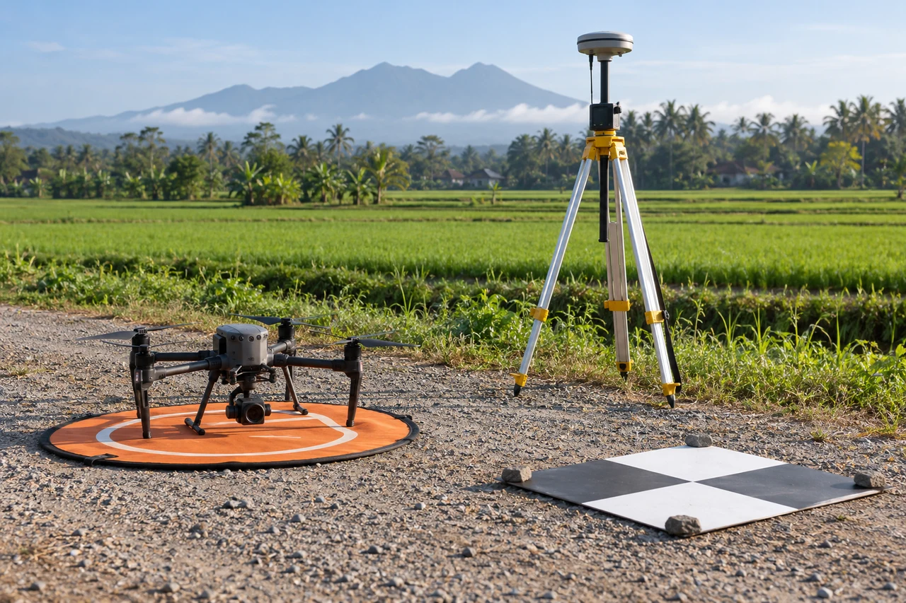
Define gap rules with the forest team, combine image interpretation with coherent surface evidence where available and retain ambiguous shadow. Measure openings within a fixed forest boundary. Compare gap-size distributions and connectivity, then inspect a representative sample across sizes and terrain positions.
Quality review for visible canopy gap polygons must continue after processing completes. Inspect crown edges, deep shadows and moving foliage in source frames as well as the finished products. Review point support before using a surface or height difference. If a terrain baseline is involved, verify its origin, date and compatibility independently; a classified or interpolated output is not proof that the camera observed ground. Preserve forest-management identifiers and comparison footprints. For classifications, evaluate object and class errors relevant to the intended use, including small or hidden features. Keep unsupported areas visible instead of extending a continuous estimate beyond the evidence.
Work through an illustrative example
An illustrative stand has twenty mapped openings totaling 0.5 hectare. If five are actually deep crown shadows, the mapped opening fraction is biased. Reviewing only the largest obvious gaps would not reveal how often small shadow patches are misclassified.
This example for visible canopy gap polygons is deliberately illustrative, not a reported outcome or an accuracy promise. Replace its assumptions with the project’s measured values before using the reasoning operationally. Keep the numerator, denominator, observation date and exclusions visible. If a plausible boundary, visibility or reference change alters the decision, collect the missing evidence or retain the case as unresolved rather than reporting extra decimal places.
Validate with independent field evidence
Inspect gap edges and interiors, record overhead cover and regeneration, and match field observations to mapped polygons. Include apparently closed canopy reference locations. Use additional methods if stem structure or subcanopy conditions are required.
An evaluation of visible canopy gap polygons should include both flagged targets and suitable unflagged reference locations. Checking only the most obvious candidates can estimate neither the missed targets nor the full false-alarm pattern. Separate observations used to adjust the method from those used to evaluate it. Keep the sampling unit and selection method explicit, and report difficult or unobservable cases rather than dropping them silently. When field timing differs from image timing, explain whether the site could have changed between visits. A disagreement is evidence to investigate, not an instruction to force the ground record to match the map.
Resolve the topic-specific interpretation risks
Forest-gap monitoring should state whether the gap boundary follows the canopy opening or the ground area beneath it. Crown overhang makes those different geometries. In repeated work, a closing upper canopy can conceal a still-distinct ground patch, so changes in visible gap area do not automatically describe understory development. Record the gap’s surrounding canopy context and known disturbance history. Field plots can then test whether openings differ in regeneration or ground condition without assuming that every remotely mapped gap represents the same ecological process.
Hand over evidence that the receiving team can use
Deliver a visible-gap layer with interpretation rules and confidence. Use it to plan ecological sampling rather than equating opening area with forest degradation or regeneration success.
For the visible canopy gap polygons handover, retain stable identifiers, the source observation date, the coordinate reference, the analysis boundary and the valid-observation status. Supply both an accessible overview and the relevant geospatial data where needed. Attach a short exception register that explains unresolved features and the next useful check. If the data are revised, preserve the reason and version so quantities or statuses can be traced. Ask the receiving team to locate a sample item and interpret its confidence; that practical review often reveals missing context that a file-integrity check cannot detect.
When evaluating Drone Image Processing Software for visible canopy gap polygons, assess the complete workflow with a representative dataset. DroneCollab can be considered for preparing photogrammetric mapping outputs, while task-specific interpretation and field validation remain essential. Compare the required exports, review process and actual pilot evidence before selecting a workflow for recurring work.